


€3,500,000
Building plot in Muro de Alcoy
Description
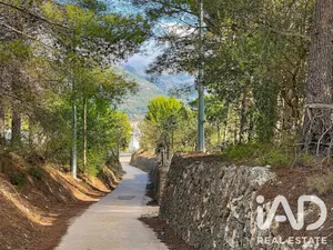
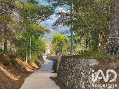
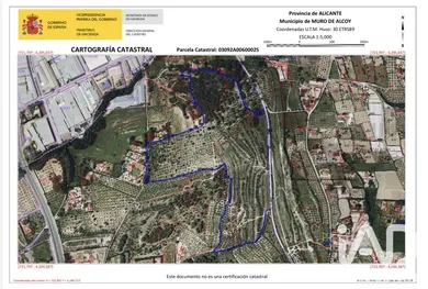
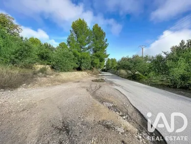
L'ARPELLA, MURO DE ALCOY, DEVELOPABLE LAND, POSSIBILITY OF 90 SINGLE-FAMILY HOMES DEVELOPABLE LAND IN MURO DE ALCOY - ALICANTE. Land in Muro de Alcoy, in L'ARPELLA. Muro de Alcoy is fifteen minutes from Alcoy and one hour from Valencia by car, and also from Alicante. The land is mostly classified and designated, according to the current planning regulations which is the General Urban Planning Plan (PGOU) of the Municipality of Muro de Alcoy, as Residential Developable Land. It is taxed under property tax (IBI) as land valued by location not occupied by construction. The land covers an area of approximately 12 hectares, located in the L'ARPELLA zone within the property of Muro de Alcoy no. 5,400, registered in the Property Registry of Cocentaina and established as a grouping of seven properties (689, 1,476, 1,933, 1,946, 3,504, 3,603 and 3,803), pending subdivision. The cadastral references of the land for sale and their areas are as follows: 03092A006000250000MI (Plot 6, Parcel 25, 108,056 m²) 03092A006000300000ME (Plot 6, Parcel 30, 4,021 m²) 03092A006000620000ME (Plot 6, Parcel 62, 8,197 m²). Total: 120,274 m² The General Urban Planning Plan provides for, in the specific area of L'ARPELLA, the construction of up to nine detached single-family homes per hectare, with a maximum height of two storeys above ground level; likewise, the PGOU allows other compatible uses: industrial (artisanal), automotive services (garages), tertiary (retail) and public facilities (sports, educational, sociocultural, religious, administrative, welfare and residential). Furthermore, the gross building density index for the L'ARPELLA sector is set at 0.20 m²t/m²s; based on this, the total square metres of buildable floor space for the sector are as follows: 368,201 m²s x 0.20 m²t/m²s = 73,640 m²t. Thus, for the calculation of maximum building capacity, all floors constructed above ground level, basements and free spaces under roof with a clear height greater than 1.5 metres shall be counted. Furthermore, the planning scope provides that, if development is carried out through two or more execution units, the first of them must be greater than 40,000 m². The Partial Plan that regulates the sector must provide for the execution of a street parallel to the N-340 road up to urban land; the development of the sector will be conditioned to the completion of said road, which will have a noise barrier. Parcel 25 is classified as Residential Developable Land, except for a portion to the south, specifically the sub-parcels "i", "j" and "k" (total developable land, 108,056 - 2,642 - 5,550 - 203 = 99,661 m²); on the other hand, parcels 30 and 62 are within the land that forms part of the Primary Network of Public Facilities, more specifically Public Park (PQL). Based on the above, for one hectare, 10,000 m²/s x 0.2 m²t / m²s = 2,000 m²t; 2,000 m²t / 9 homes = 222.22 m²t per home. For our area, 99,661 m²/s x 0.2 m²t / m²s = 19,932.2 m²t; 19,932.2 m²t / 222.22 m²t = 89.695 homes. That is, almost 90 homes could be built or a smaller number of them with a larger size. Sufficient extension is offered to undertake an initial phase if development is to be approached in stages.
Ref: 1040658
Others informations
Price details
- Property price
- Property price
- €3,500,000
- €3,500,000
- Price per m²
- €29 / m²
Muro de Alcoy, Muro de Alcoy
Contact
* Mandatory field
The data you provide is processed by iad España as the data controller in order to process and follow up your request. You have the right to access, rectify, oppose, delete, limit and port your data. To learn more about the processing of your data by iad España and your rights, please consult the Privacy policy.
Similar properties